Trá Ruaim Loop
This short walk starts at the old fishing pier at Trá Ruaim and circles back around the headland through farmland.
Trá Ruaim Loop Details
| Distance | Grade | Estimated Walking Time |
| 0.8 km | Moderate | 50 mins |
| Ascent | Descent | Min. Height | Max. Height |
| 21 m | 21 m | 6 m | 22 m |
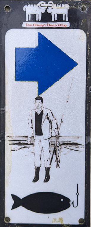
Trá Ruaim Loop Marker & Downloads

Trá Ruaim Loop Directions & Map
This short walk starts at the old fishing pier at Trá Ruaim and circles back around the headland through farmland. Trá Ruaim was once a busy working pier during the pilchard industry of the 1700s. This was part of a larger pilchard industry across Munster at the time. You can find more information about the pilchard industry in West Cork at the Deep Maps page.
The name Trá Ruaim reflects the use of Alder bark to dye the fishermen's ropes and nets giving a red colour. (https://www.teanglann.ie/en/fgb/ruaim) From the 1860’s to the early 1940’s fish were processed here. Trá Ruaim has a long history of use and it's history and nautical navigation are discussed in depth on Michael Harpur's excellent eoceanic.com site, which is linked below.
External Links:
https://eoceanic.com/sailing/harbours/205
