Coomkeen Loop
This loop walk has fantastic views over Bantry Bay and Dunmanus Bay, and travels over hill and quiet roads.
Coomkeen Loop Details
| Distance | Grade | Estimated Walking Time |
| 7 km | Moderate | 3 hrs |
| Ascent | Descent | Min. Height | Max. Height |
| 186 m | 186 m | 71 m | 195 m |
Coomkeen Loop Marker & Downloads

Coomkeen Loop Directions & Map
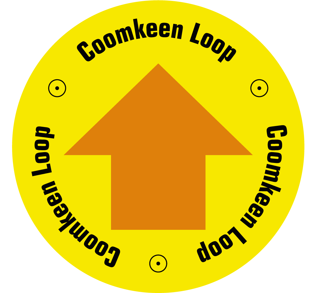
Directions: From the Car Park at Boolteenagh, follow the orange arrows and set out along the ridge. The trail passes Lough Na Fuilla (Lake of Blood), before dropping downhill along bog roads, and quiet roads before returning to the car park, passing the very famous Durrus Cheese farm.
The Lake of Blood
By Willie Dwyer, Local Historian, Rooska, Bantry
"Those stone cairns up there on the hill are not the original cairns made by the Ordnance Survey (in the 18 30s), but they are on that the original spot, I believe, of the cairns. Some people used to go out there and knock it down, and the next party that would go up would rebuild it up again. So down through the years it has been preserved. It might have been destroyed, but it was like the phoenix - it always arose from the ashes!
I heard this story from local schoolteacher, Joe Hourihane, who is dead many years. Tradition has it that in a dry summer many, many years ago, water was very scarce and there was cattle grazing in the mountain over the lake. The water was scarce in the hole due to the demand that was on it by the cattle, and eventually, the cattle fought over the water and gored each other. There was no such thing as dehorning of cattle in those days, and the smell of blood drove the cattle mad. The result was anyway that there was nothing left in the end, only some few survivors and a pool of blood in what used to be, due to the dryness of the summer, the little lake. And that's how it got its name of "Loch na Fuilla", which when translated into English means "The Lake of the Blood".
The gap going through in the mountain there, by Loch na Fuilla, the locals always called it, that's the old people who are dead and gone now, used to call it "Barna Mhór", which means "The Big Gap", and on the right-hand side (the north-west corner) before you come to the extreme top of the track, there's a round bald rock which was known as "the Eagle's Rest". I don't know how long the eagles have been gone out of this part of the country, but it must have been a long time ago. This is a tradition now, it has been handed down as tradition, how true or false it is, I can't prove to you."Willie Dwyer, Local Historian, Rooska, Bantry
