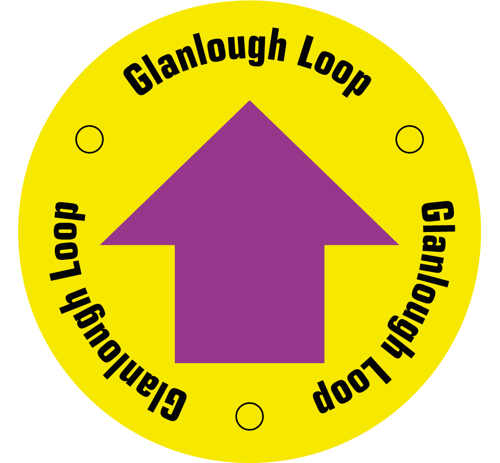
Glanlough Loop
This strenuous loop follows minor roadways, laneways and mountain paths. Spectacular mountain, coastal and sea views abound on all sides.
Glanlough Loop Details
| Distance | Grade | Estimated Walking Time |
| 15.3 km | Strenuous | 6.5 hrs |
| Ascent | Descent | Min. Height | Max. Height |
| 534 m | 534 m | 8 m | 297 m |
Glanlough Loop Marker & Downloads

Glanlough Loop Directions & Map
Directions: From the car park, follow the purple arrows west towards Kilcrohane, turning right after 150m for Ahakista Church, and immediately left (sign for Glanlough). The walk climbs to bring you along the top of the ridge of the Sheep's Head Peninsula, before descending and circling Glanlough Lake. The trail then follows hill paths and minor roads back to Ahakista Bridge and the car park.
