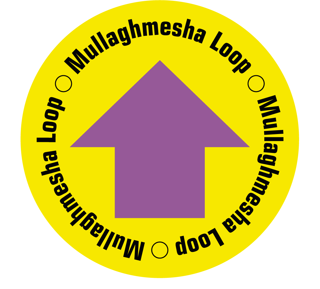
Mullaghmesha Loop
A walk to the summit of Mullaghmesha (494m) with stunning panoramic views over the West Cork countryside, from the Kerry Mountains to the North, Roaring Water Bay to the South, Bantry Bay to the West and Dunmanway to the East.
Mullaghmesha Loop Details
| Distance | Grade | Estimated Walking Time |
| 12 km | Strenuous | 4 hrs |
| Ascent | Descent | Min. Height | Max. Height |
| 479 m | 479 m | 89 m | 494 m |
Mullaghmesha Loop Marker & Downloads

Mullaghmesha Loop Directions & Map
Directions: The walk can be started at various points along the road, but this version has the tough climb at the start. Starting at Mealagh Community Hall, follow the road south for about 1.2km. The trail then leaves the road and a track zig-zags uphill to some old peat cuttings, before crossing boggy ground to the summit cairn. A gentle ridge walk then takes you east to meet the Bearna-na-fola road, which winds downhill to meet the valley's southside road, and then back to the Hall. Note that walking Mullaghmesha should not be undertaken in cloudy or misty conditions. Walkers need to be aware that conditions can change rapidly so good map reading skills and hill walking experience are essential in this landscape.
