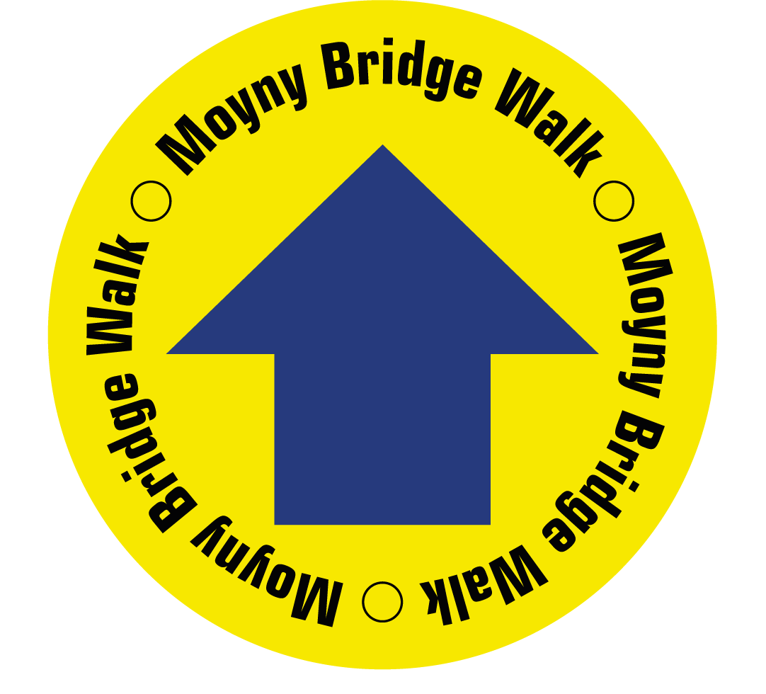
Moyny Bridge Walk
This picturesque loop walk travels country roads and crosses the River Ilen, with views of the countryside around Drimoleague.
Moyny Bridge Walk Details
| Distance | Grade | Estimated Walking Time |
| 4.5 km | Moderate | 1.5 hrs |
| Ascent | Descent | Min. Height | Max. Height |
| 84 m | 85 m | 60 m | 115 m |
Moyny Bridge Walk Marker & Downloads

Moyny Bridge Walk Directions & Map
Directions: Leaving the Drimoleague Railway Yard, head westwards through the Community Garden, and follow the path to the right which soon ascends to the picnic table area near the old Millards farmyard. From this panoramic view you head north to the Ilen river bank with its woodlands and bridges. Follow the path back to the village from the historic Moyny Bridge.
