Castledonovan Loop
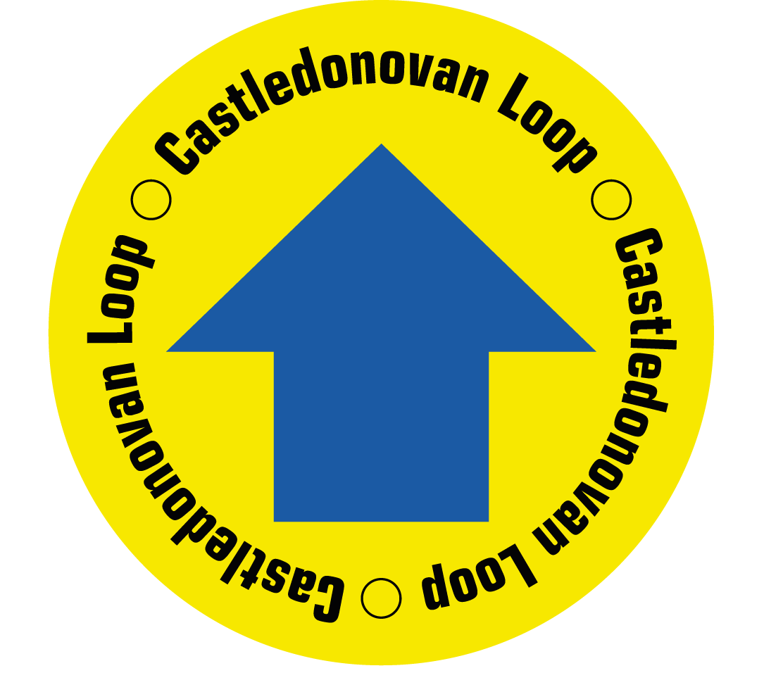
This walk has spectacular views across Bantry, Dunmanus Bay and the Kerry mountains. On clear days, there are views all the way to the Fastnet Rock. The Castledonovan Loop Walk is marked by a blue arrow starting at Castledonovan car park.
Castledonovan Loop Details
| Distance | Grade | Estimated Walking Time |
| 11 km | Strenuous | 4 hrs |
| Ascent | Descent | Min. Height | Max. Height |
| 425 m | 425 m | 142 m | 494 m |
Castledonovan Loop Marker & Downloads

Castledonovan Loop Directions & Map
Directions: Pass Castledonovan Castle to your left continuing along a quiet country road before turning off the road to take a fairly steady climb to the top of Mullaghmesha Mountain. Head down by Coomanore Lakes and along a pleasant track to back to the Castledonovan car park.
