Kilcrohane Graveyard Project
The Graveyard Information Sign
In 2020 the Sheep’s Head Way undertook digitising the gravestones in Kilcrohane Graveyard. This project was carried out during the COVID 19 lockdown and several measures were taken to collect information in a safe but thorough way. For example, once the grave data was collected and photos of each grave taken, 3 books were printed in a large text format. These books were then given to older people in the area so they could add any information that they knew about specific families or grave sites. The information was uploaded to the Find a Grave website and has been of great use to people researching their genealogy in this area.
Clicking the logo below will take you to the Findagrave site.
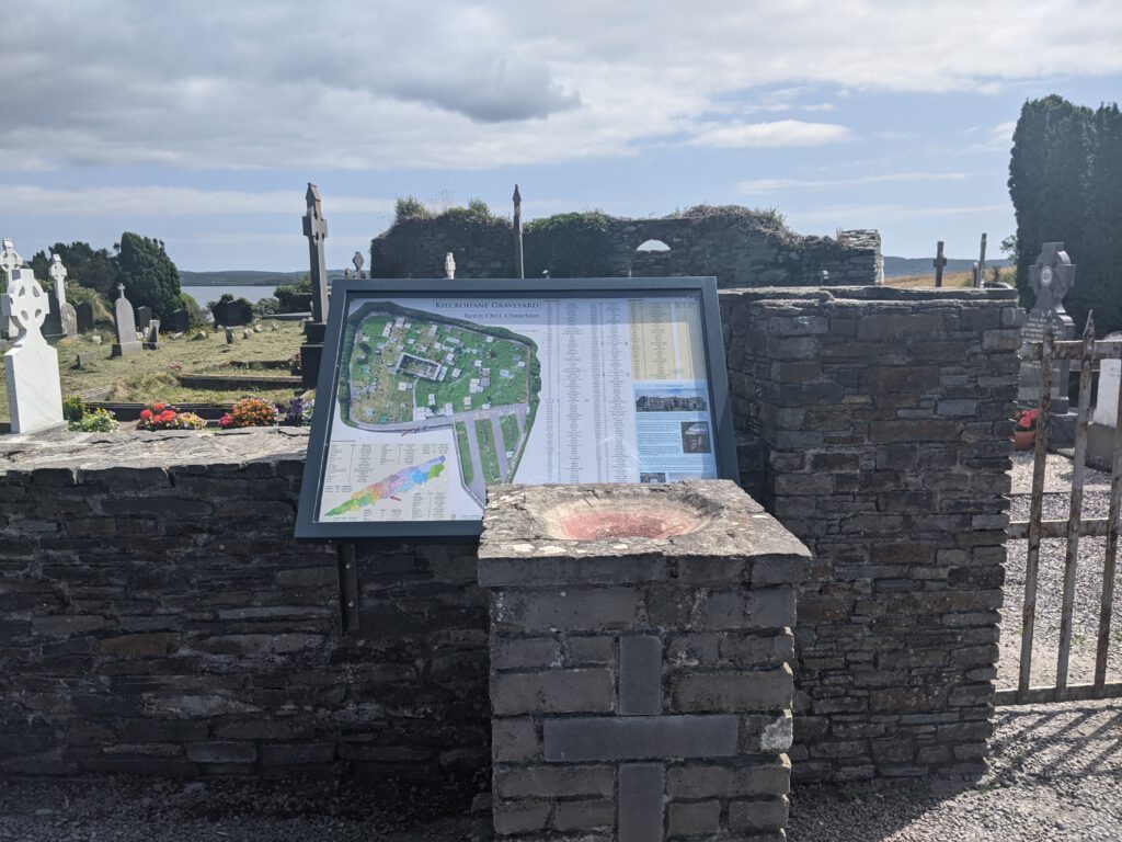
Once the information was collected a sign was designed and erected at the entrance to the graveyard. The sign was designed to fit unobtrusively by the font at the entrance of the graveyard, while also serving as a natural point to view the layout.
The final artwork from the sign, which can be clicked to explore the sign at high zoom level.
Interactive Graveyard Map
The map below allows you to browse the gravesites in the graveyard. The gravesites are number according to the sign at the entrance, and each number is linked to an image of the gravestone and a link to the corresponding findagrave page. On the findagrave page you can explore connections between people within plots and in neighboring plots. Generally gravesites from families in nearby townlands are located close to each other in the graveyard.
Kilcrohane Graveyard Folklore & History
The name Kilcrohane is derived from Cill Chrócháin meaning "Church of Crochan (Crohan)". According to folklore St. Crohan was a 6th century monk from the shores of Kenmare Bay between Castlecove and Derrynane in Co. Kerry. He is said to have built his first church there and ruins of a church attributed to him can still be found there today.
The legend of his arrival to the Sheep's Head peninsula is shared with the people of Kerry. It is said he was banished by local tribes for his Christian beliefs and given a fatal punishment: he was set adrift at sea on a coracle, a one man hide covered craft not fit for the ocean.
He drifted across two bays and miraculously washed ashore south of this cemetery. He founded a religious settlement at this site and since then it has been a place of worship and burial. In the 1300's the church was established and it has been known since then as the Cill of Crochan, now in ruins.
Local folklore describes damage to the building by Elizabethan troops under Carew, during their western campaign to subdue O'Sullivan Beare (1602). It is said that the building was completely restored by local people the very next day.
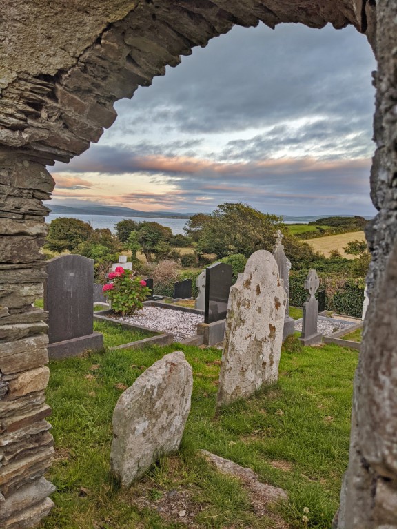

The church was still in use in 1615 but by 1639 it is described as in ruins (Brady 1863, vol. 1, 92-3). A chamfered arch-stone from the original doorway is in use as a grave marker to the south of the church. A souterrain was discovered in the course of grave digging to the south west of the church, but is now filled in and used as grave sites (Arch.Inv. of Co. Cork Vol. 5).
The first church in Kilcrohane village was built in 1820 on the site of the current primary school. The present Church of Mary, Star of the Sea was built in 1897 (O'Mahoney 2000).
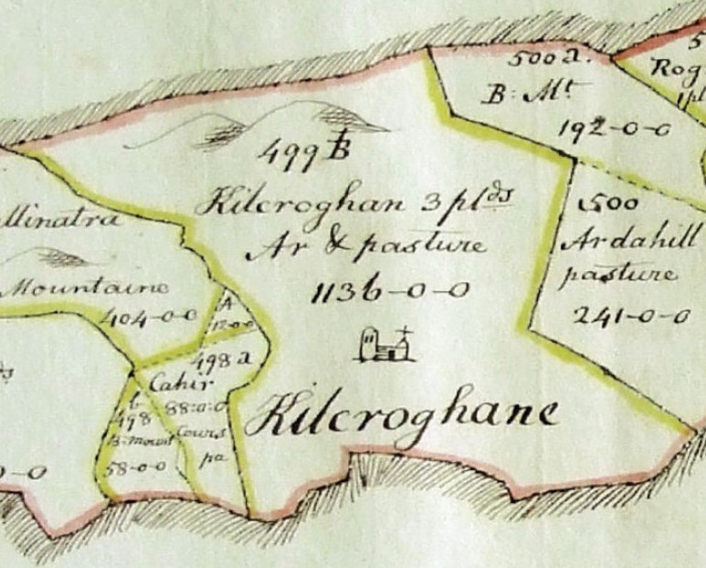
The Down survey was carried out in the 1650's and with regards to Kilcrohane parish , the following was recorded:
"Bounded on the East with the Parish of Durrus and on all the other sites it Joyneth the Sea into which it runneth farr into a point called Point Mintrovaley being all Rockey and frequented only by Eagles and Birds of Prey, on Either side of this Parish greate vessels may ride: The generall quality of the land of this parish is course Mountainous Pasture some Arable and much Barren Mountaine: There are Standinge on the Landes of this Parish the Walles of the Church of Killcroghane, the Northerne parts of this Parishis reported never to be inhabited by reason of the ruffe Incommodities. The Landes of this Parish are Divided by the following Denominations (he goes on to list the townlands)."
